The problem
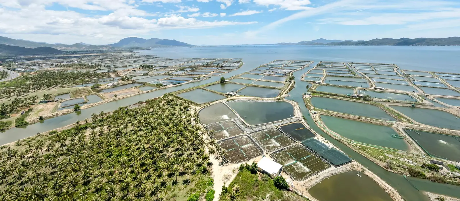
Fisheries cooperatives and departments need candidate water bodies that fit the activity. Checking thousands of ponds one by one is not realistic.
A shortlist in minutes
- Filter by size. Choose a minimum and maximum area, or size classes from under 0.1 hectare to over 5 hectares.
- Filter by access. Ask for water bodies within a set road distance, or near a river or canal.
- Leave out what is done. Show only water bodies that are not yet surveyed.
- Find the right villages first. Ask for "villages with at least 50 water bodies and at least 50 acres" and see them on the map.
- Plan the verification trips. Send the shortlist straight into cluster planning.
Verification stays with your team
The shortlist tells you where to look. A field survey, with its form and photos, records what is on the ground, and survey status feeds back into the map.
Who it is for
- Fisheries departments and cooperatives
- Aquaculture programmes and FPOs
- Livelihood projects
Questions
Does Graminq say which water bodies suit fish farming?
It narrows the list by size, access and survey status. Suitability is confirmed by your team through the field survey.