Home / Use cases
What teams use Graminq for
Any programme that has to visit many sites can be planned as clusters. These are the uses it is built around today.
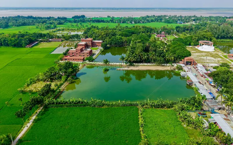
Water body mapping and inventory
One shared map of every mapped water body, with the village, block and district it belongs to, its size, its distance to a road and whether it has been surveyed.
Read more
Field survey planning and verification
Plan the trips first, then hand each field worker a cluster: the stops in visit order, a survey form and a way to mark each site done.
Read more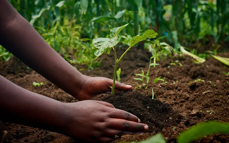
Plantation and afforestation planning
Planting drives succeed when crews, sites and routes line up. Graminq plans the where and the who, and tracks that the work is done.
Read more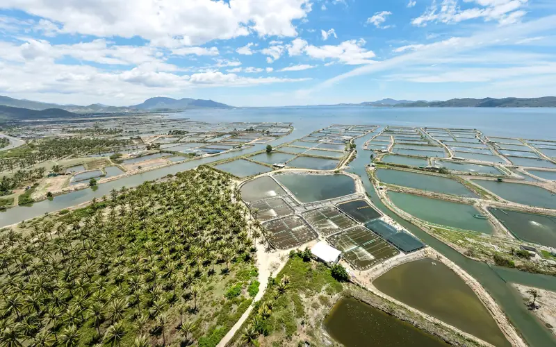
Fisheries and aquaculture site shortlisting
Find the water bodies worth a visit: large enough, reachable by road and not yet surveyed, then plan the verification trips.
Read more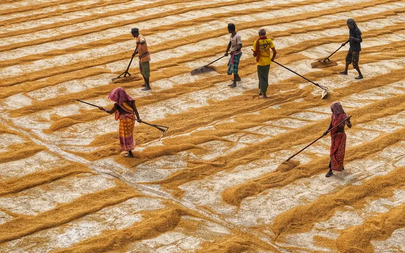
Programme and CSR project monitoring
One view of what is planned, what is assigned and what is finished, from the first cluster to the last survey.
Read more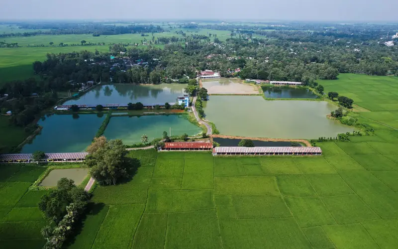
Water security and rural development planning
Decide where to invest first with evidence from the ground up: the places with the most water bodies and the most water.
Read moreStart with the data already loaded
8.5 lakh+ water bodies in 5 states are ready to plan.
Sign in to Graminq