
Home / How it works
How cluster planning works
Four steps from a map of sites to field work that is assigned, ordered and tracked.
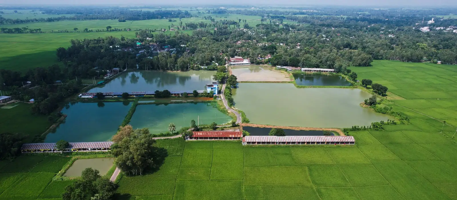
1. Choose the sites
Pick an area such as a district or block, then the criteria that matter: minimum area, maximum road distance, not yet surveyed. Every filter on the map also applies. You can also start from the Dashboard, for example villages with at least 50 water bodies and 50 acres.
2. Set the grouping rules and preview
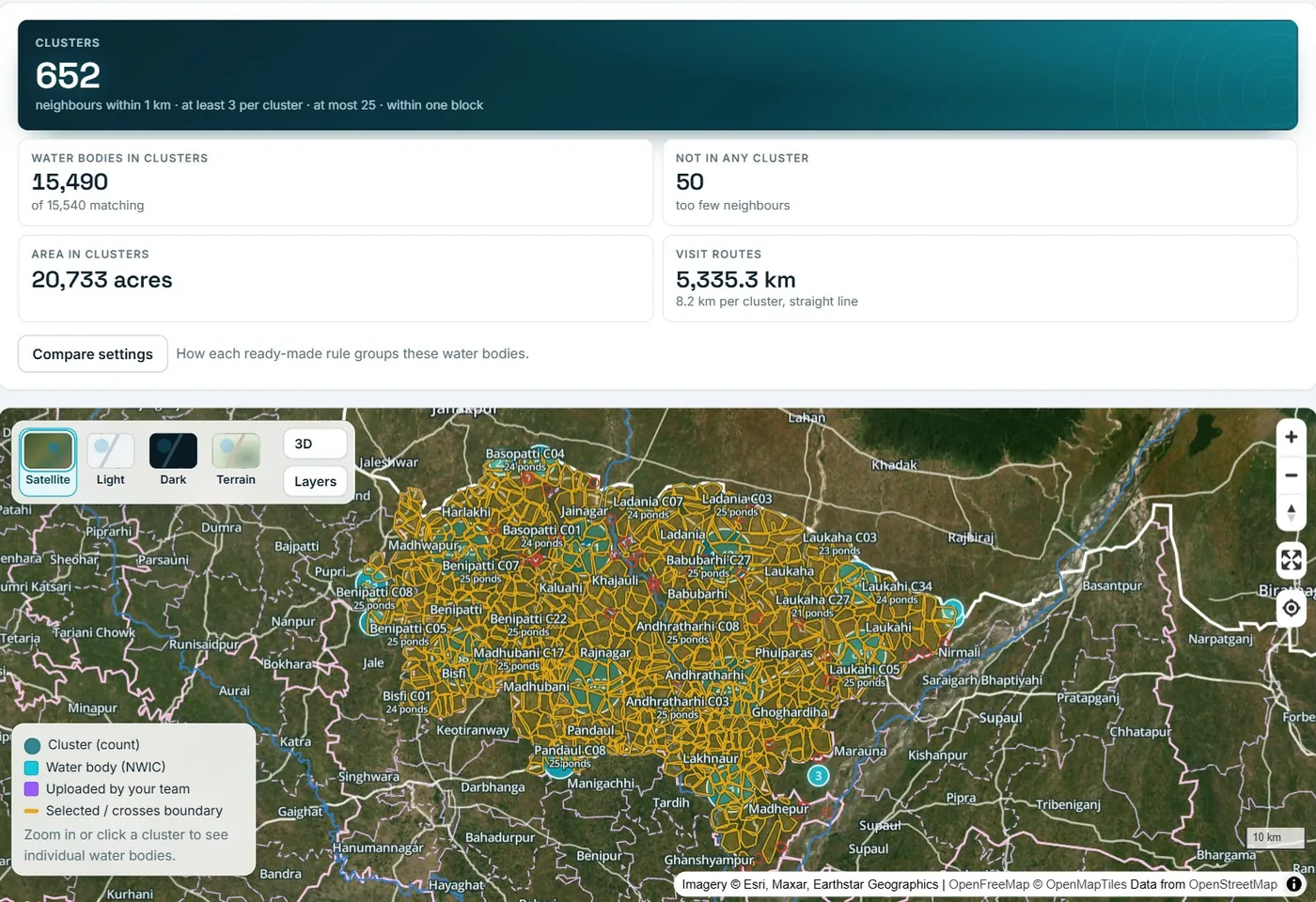
Choose how close sites must be, the smallest and largest cluster and the boundary a cluster must stay inside. Preview the clusters on the map. Compare ready-made rule sets side by side: clusters, sites included and left out, average size and average route.
3. Save and assign
Save the clusters as a plan. Assign each cluster to a field worker with a due date and a note. Every site in the cluster is assigned in visit order.
4. Work the plan and track it
Field workers see their stops and route, survey each site with photos and mark it done. Clusters move to in progress and completed by themselves. The Progress view shows each field worker, block or village.
The rules you control
| Rule | What it does | Usual setting |
|---|---|---|
| Neighbour distance | How close one site must be to the next to join the same cluster | 1 km |
| Smallest cluster | Groups smaller than this are not made into clusters and are listed as left out | 3 sites |
| Largest cluster | What one team can cover on a trip; bigger groups are split | 25 sites |
| Widest cluster | Optional limit on how far apart a cluster’s sites can be | No limit |
| Stay inside | Keep each cluster inside one block, village, panchayat or district, or no boundary | Block |
| Add left-overs | Let a left-over site join the nearest cluster in the same boundary if it has room | Off |
The grouping rules are listed with every saved plan, so any plan can be explained and repeated.
Questions
What is cluster planning?
Cluster planning groups sites that are close together into a work cluster, a set of sites that one team can survey or treat on one trip. The clusters respect rules you set: distance, size and the block or village they must stay inside.
How are clusters formed?
You set the neighbour distance, the smallest and largest cluster, an optional width limit and the boundary a cluster must stay inside. Water bodies within reach of each other are grouped, large groups are split and the stops are put in visit order. See how it works.
Which boundaries are available?
State, district, block and village boundaries. Gram panchayat boundaries are not loaded yet.
See it on your own area
Choose a district, preview clusters and assign them in minutes.
Sign in to Graminq